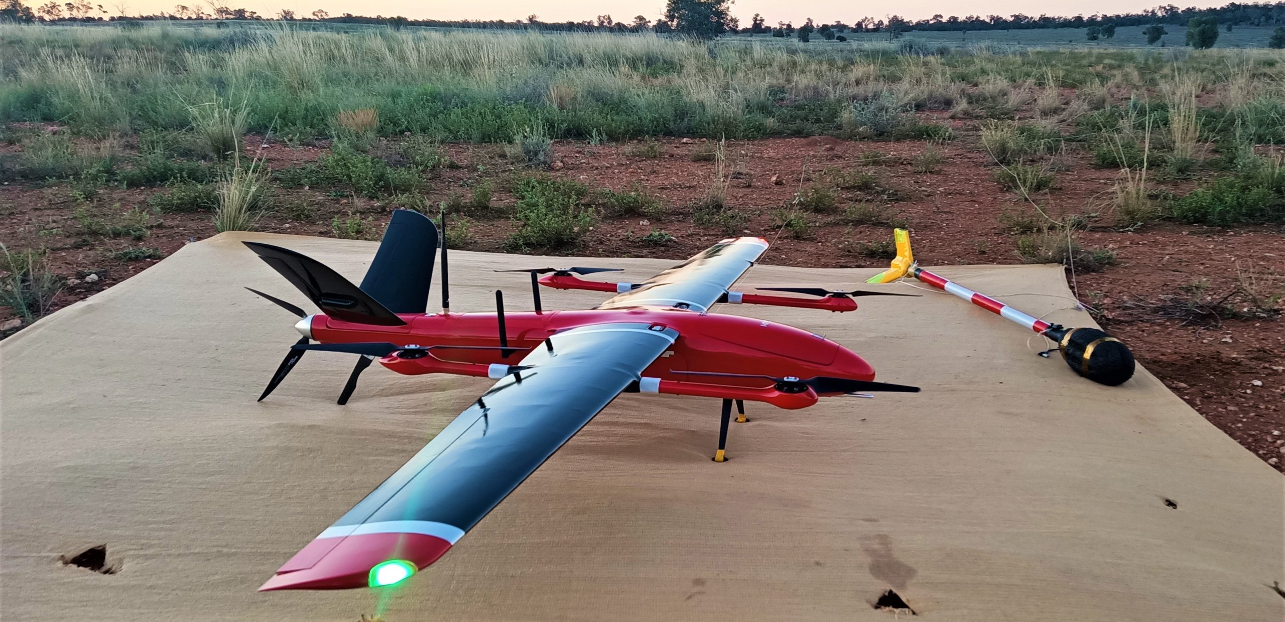
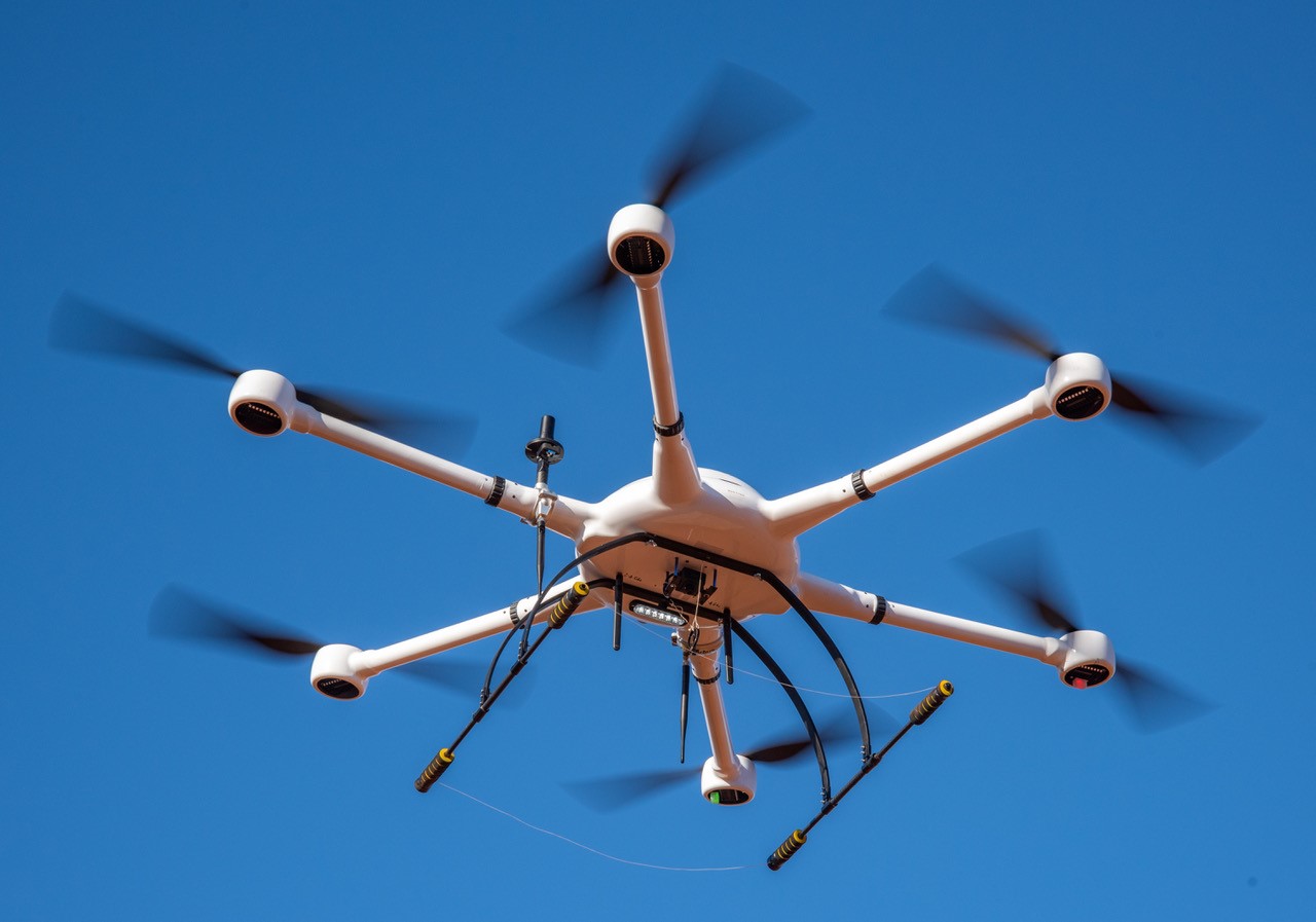
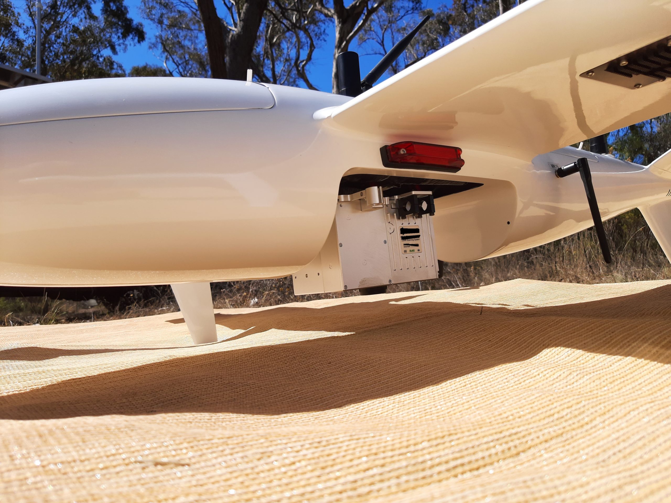
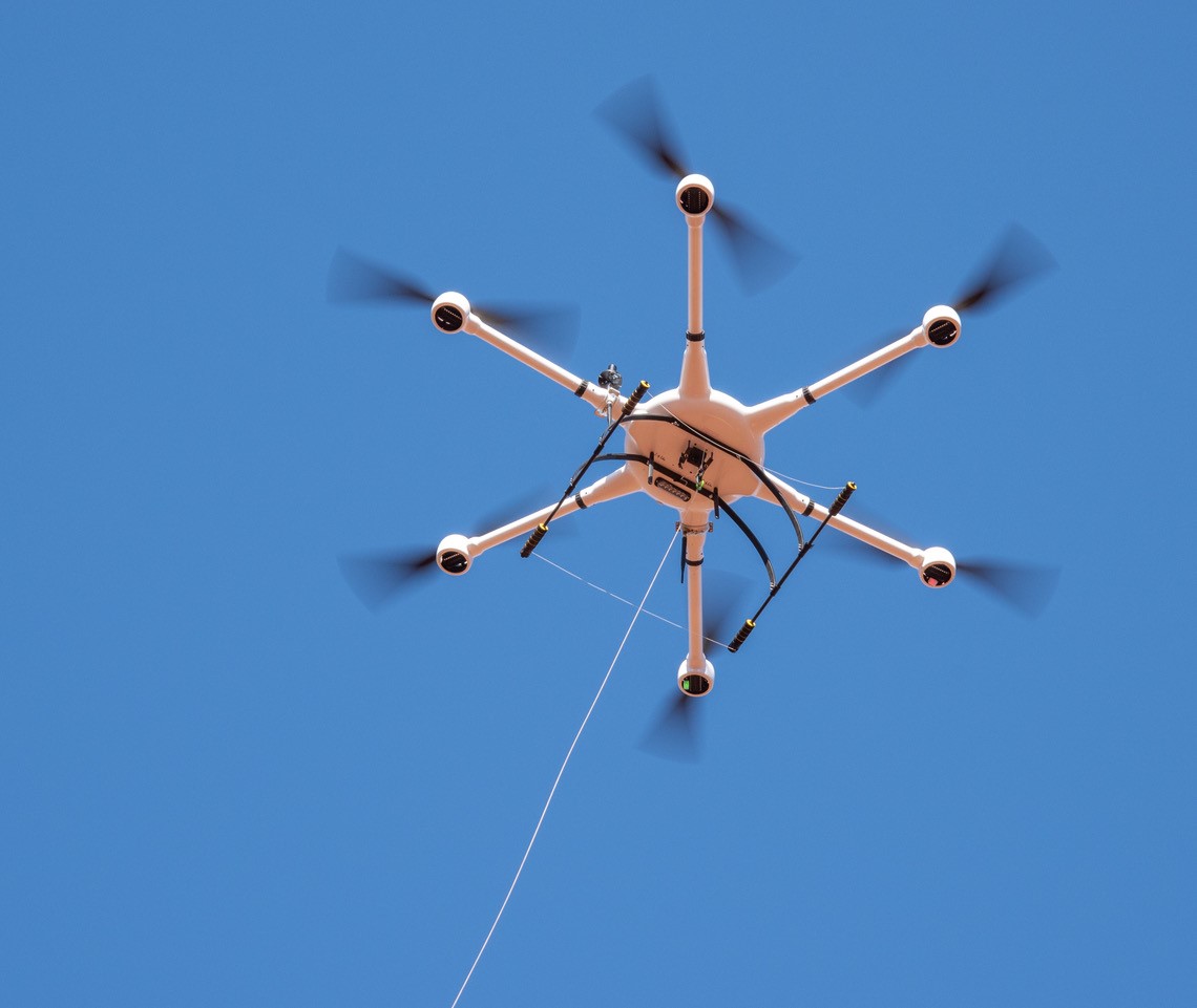
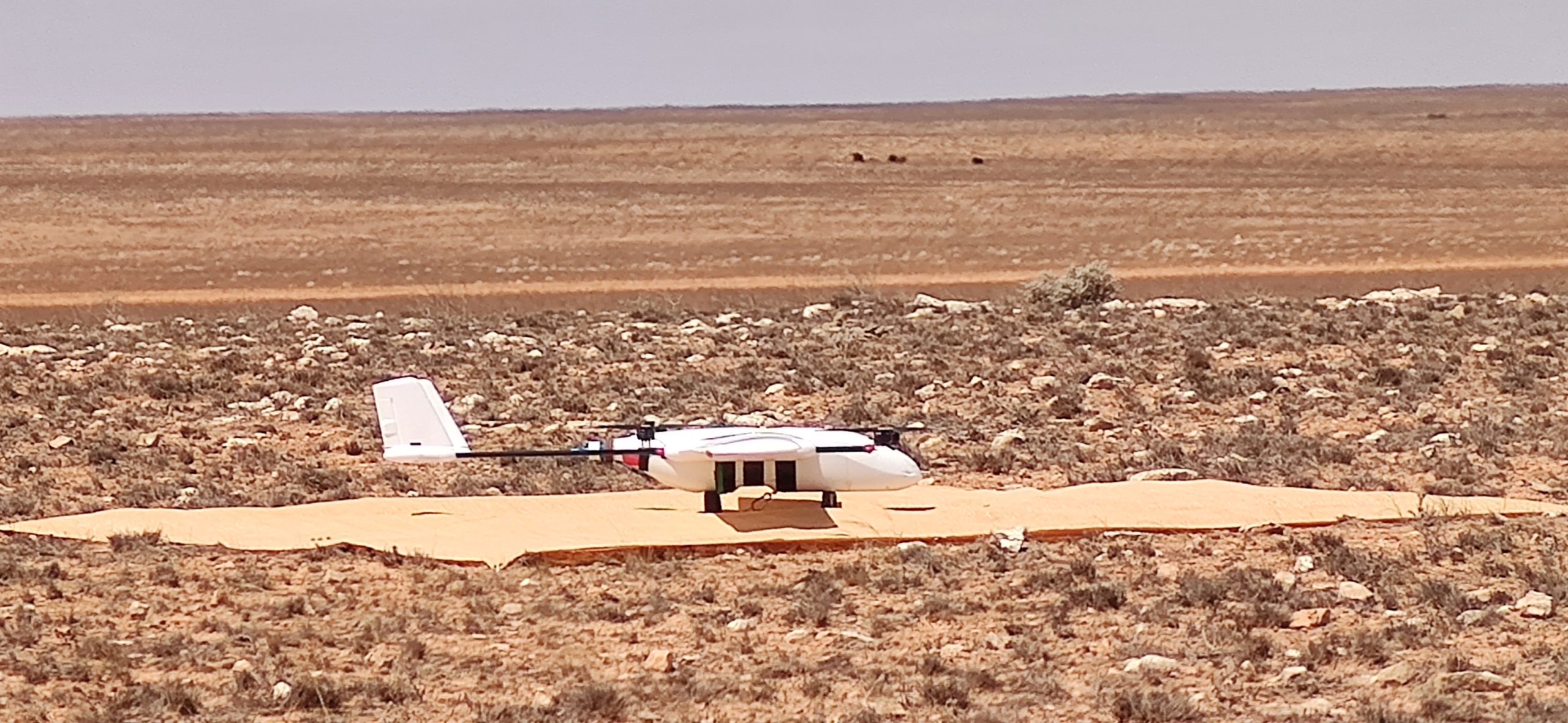
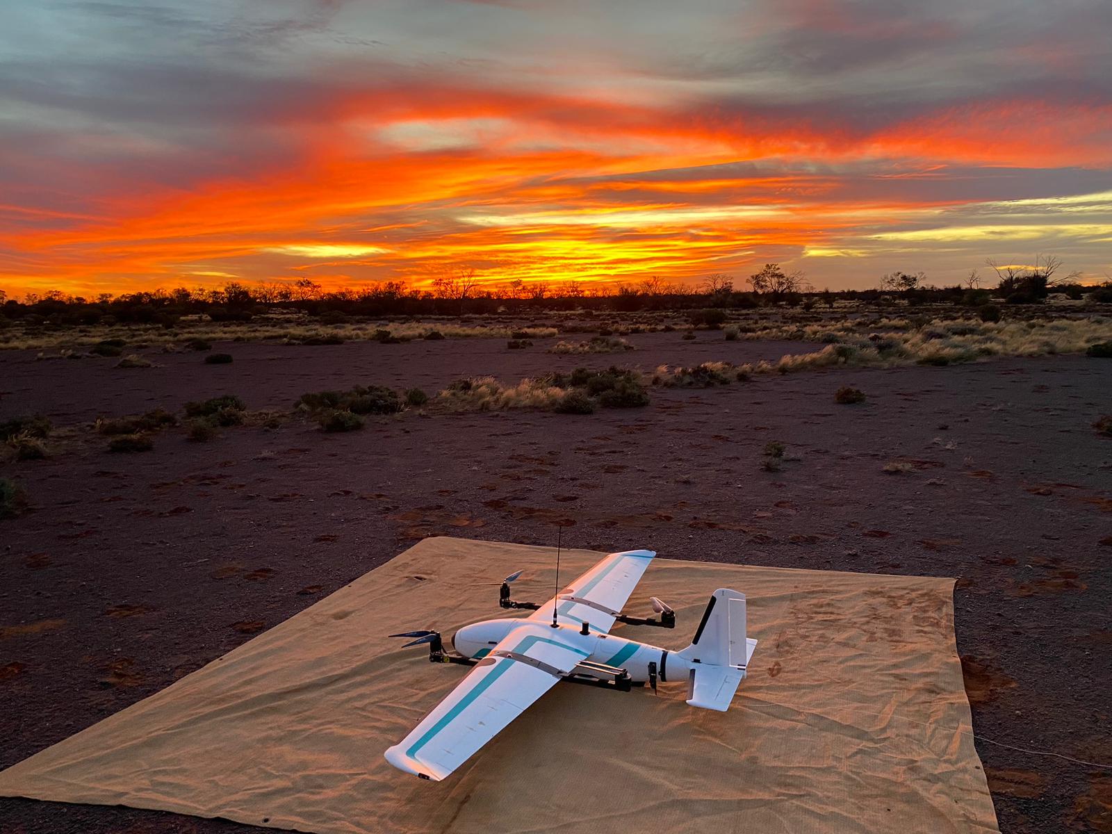
Drone technology is transforming the way geophysical surveys are conducted, offering significant advantages over traditional fixed-wing aircraft. At Mena Geophysics, we employ state-of-the-art drones to conduct surveys with unmatched precision and flexibility, particularly in the challenging terrains of the MENA region.
Advantages of Drone Technology
Drones can fly at lower altitudes than fixed-wing aircraft, allowing for much higher resolution data collection and more detailed mapping of the Earth’s surface, leading to mapping of geological units that won’t be seen from fixed-wing aircraft. This capability is crucial for identifying smaller targets, such as gold, REE and lithium deposits, which require fine-scale resolution to detect.
Flexibility and Efficiency
One of the key benefits of drone technology is its flexibility. Drones can quickly revisit areas of interest, adjusting flight intervals to gather additional data as needed. This allows geologists to process data overnight and make informed decisions in real-time, providing live, actionable insights that drive exploration success.
Superior Data Collection
Mena Geophysics’ drone surveys deliver high-quality data that enhances the accuracy of our geological models. By integrating drone technology into our exploration toolkit, we ensure that our clients receive the most detailed and reliable information available.
Safety and Security
Drones offer significant safety advantages by eliminating the need for human pilots to fly at low altitudes, thereby reducing the risk to human life. Additionally, drones mitigate security risks associated with manned flights in politically sensitive areas, ensuring safer and more secure data collection.
Operational Efficiency
Drones require fewer personnel to operate compared to traditional fixed-wing aircraft, reducing the logistical complexities and costs associated with large survey teams. This efficiency also minimizes the need for foreign working visas, streamlining the deployment process and allowing for quicker mobilization of survey operations.
Environmental Impact
Drones have a smaller environmental footprint compared to traditional aircraft. Their ability to operate quietly and efficiently reduces disturbances to local wildlife and communities, aligning with Mena Geophysics’ commitment to responsible and sustainable exploration practices.
By leveraging the advanced capabilities of drone technology, Mena Geophysics is able to provide superior geophysical survey solutions that are safer, more efficient, and more environmentally friendly. Our use of drones underscores our dedication to innovation and excellence in mineral exploration across the MENA region.