

Magnetic surveys offer a unique window into geological formations and structures that are not visible on the surface. By employing drone technology, we can achieve extremely high-resolution magnetic data, providing geologists with invaluable insights into the geological history and processes that have shaped a region. This high level of detail enables the identification of drill-ready targets with exceptional accuracy.
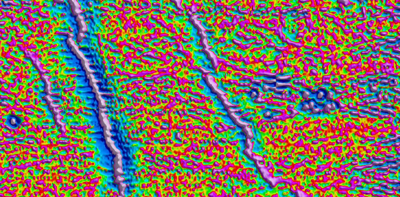
Magnetic surveys measure the magnetic susceptibility of geological units from the surface down to several kilometers in depth. Different geological formations exhibit varying levels of magnetic susceptibility, allowing geologists to precisely map the location of these units. This technique also helps in identifying structural geology features such as faults, shear zones, and dilational jogs.
The high resolution of drone-acquired magnetic data allows for the accurate targeting of these geological structures, making it possible to plan drilling operations with great precision.
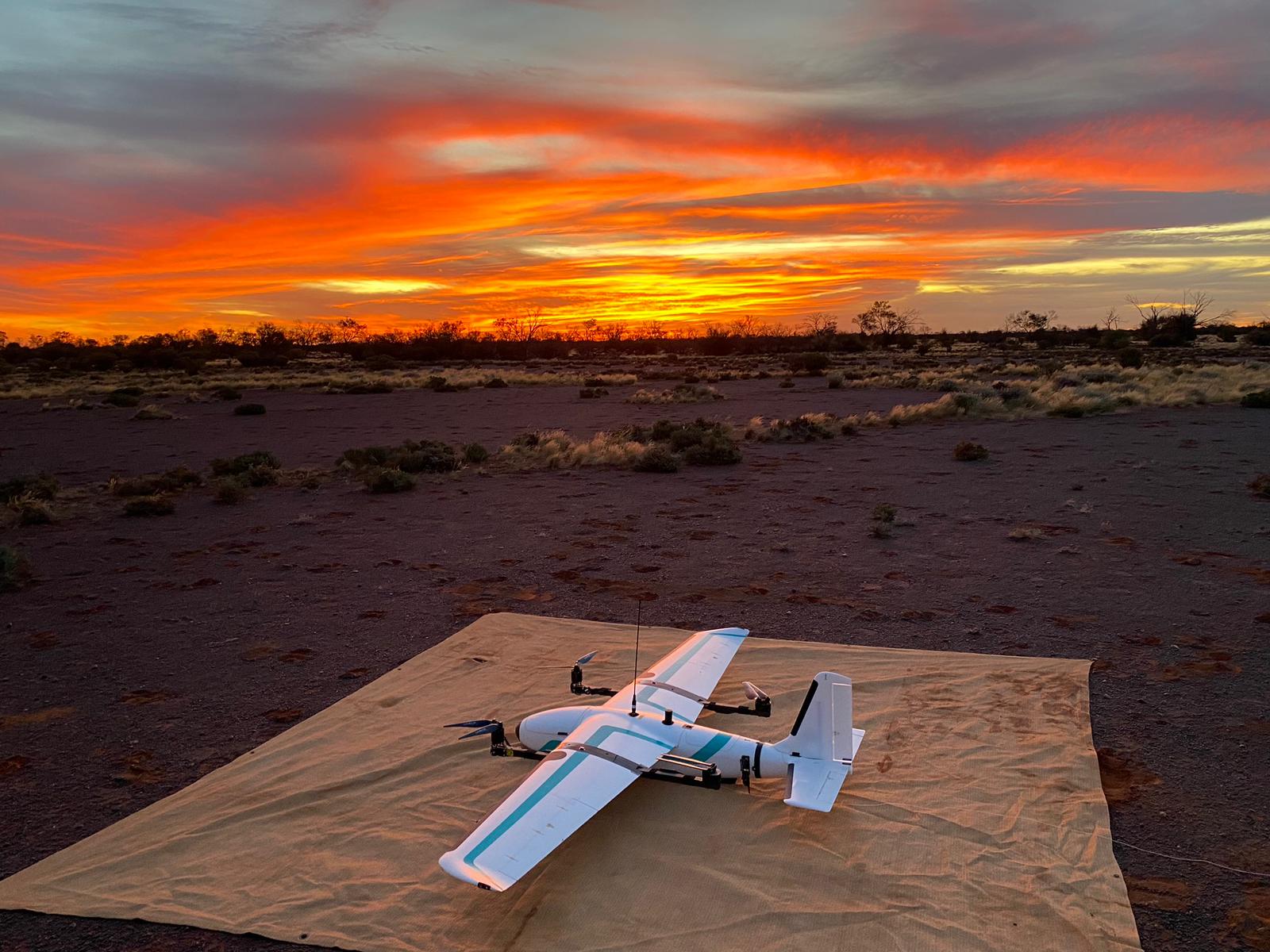
Our drone magnetic services are specifically designed to address the unique geological challenges of the MENA (Middle East and North Africa) region. With extensive experience and expertise in this area, Mena Geophysics offers customized solutions that maximize the resolution and effectiveness of magnetic surveys. Our tailored approach ensures that we deliver high-quality magnetic maps, providing insights that drive successful exploration projects.
By leveraging our advanced drone technology and specialized knowledge, we can see beneath the surface cover and map the underlying geology with unparalleled accuracy. This enables us to provide drill-ready targets that significantly enhance the efficiency and success rate of exploration activities in the MENA region.
Unlock the hidden geological secrets of the MENA region with Mena Geophysics’ advanced drone magnetic services. Contact us today to learn how we can assist you in your exploration endeavors.
Our drone magnetic surveys produce extremely detailed data, allowing for precise geological mapping and accurate drill targeting.
With years of experience in the MENA region, we understand the unique geological challenges and can provide tailored solutions.
We utilize state-of-the-art drone technology to capture high- resolution magnetic data, ensuring the highest quality results.
Our detailed magnetic maps and insights drive successful exploration projects, helping you achieve your exploration goals.
Contact us today to learn how our advanced technologies and world-class expertise can help you achieve your exploration goals.