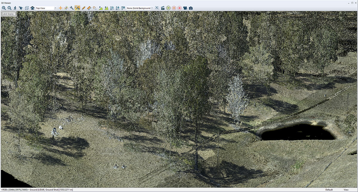
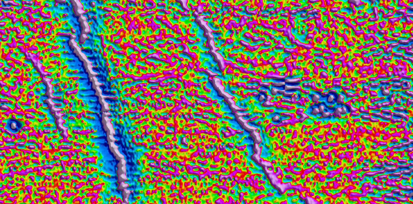
LiDAR (Light Detection and Ranging) is a powerful tool for geologists, enabling detailed mapping of structural geology in areas of outcrop and identifying local workings. This technology provides high-resolution data that is invaluable for geological surveys and mineral exploration.
The Benefits of LiDAR
LiDAR technology uses laser pulses to measure distances to the Earth’s surface, generating high-resolution topographic maps. These maps provide critical information about the terrain, including subtle variations that can signal the presence of mineral deposits. By identifying features such as fault lines, fractures, and other geological structures, LiDAR helps geologists target areas with high mineral potential.
for Accurate Exploration
High-Resolution Data
Mena Geophysics leverages LiDAR technology to deliver unparalleled data quality. Our high-resolution maps are essential for accurate exploration, enabling us to pinpoint drill targets with exceptional precision. This technology is particularly effective for identifying rare earth element (REE) and lithium-type targets, which often require detailed mapping to locate.